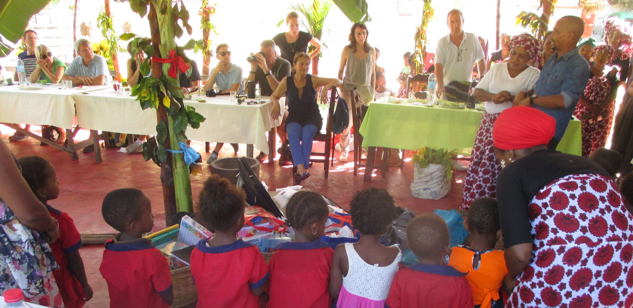
From 4 to 8 persons.
![]()
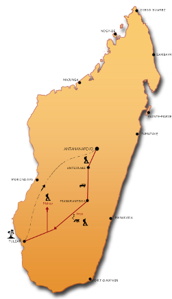
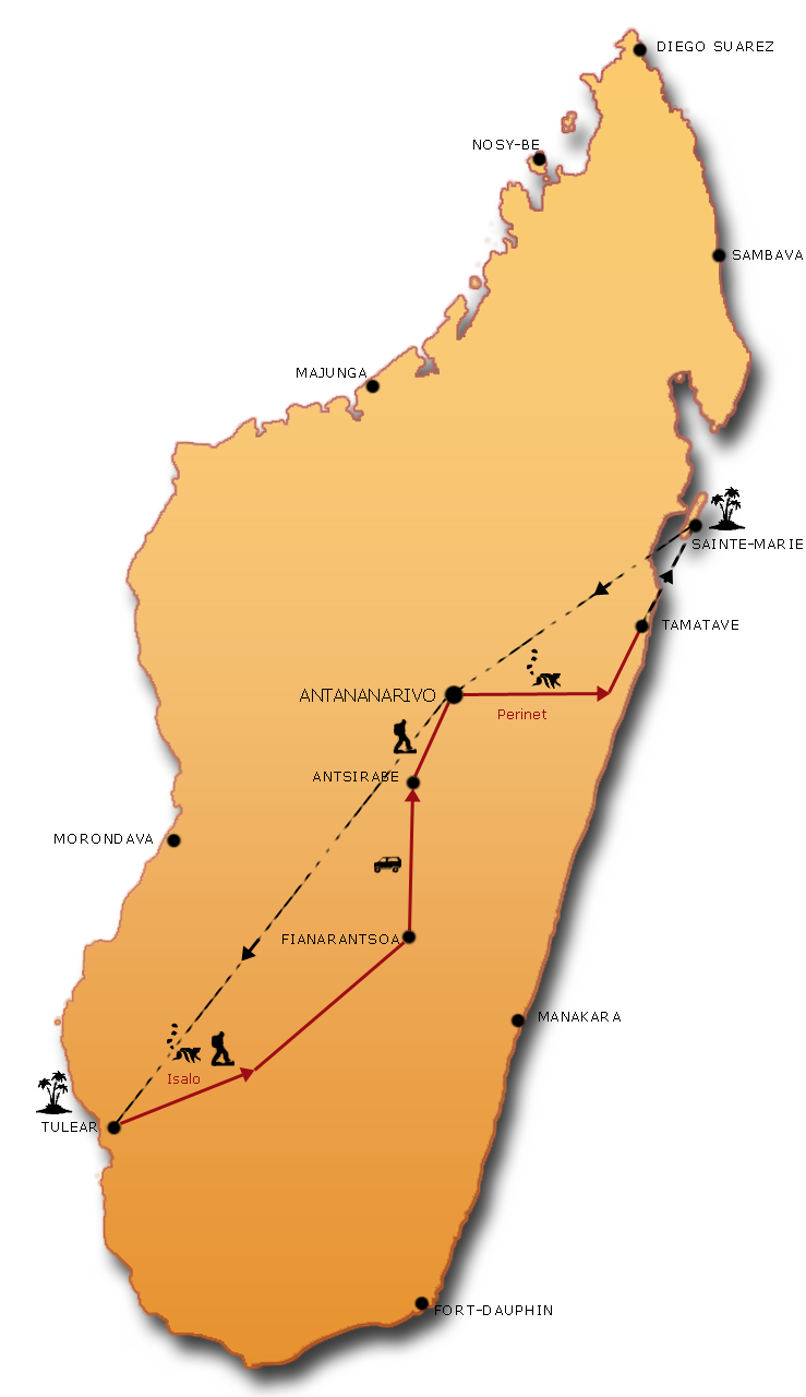
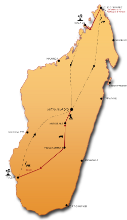
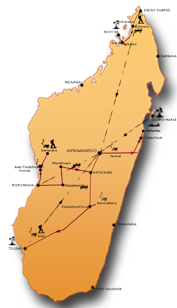
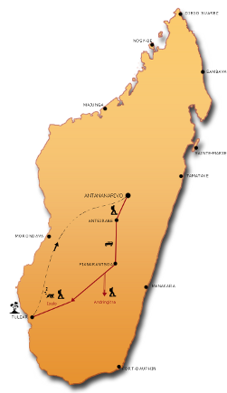
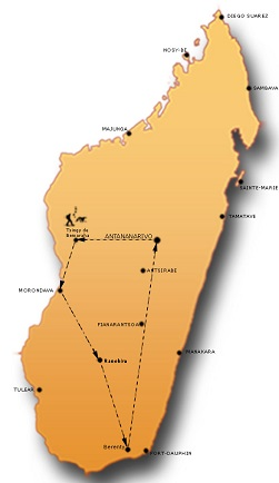
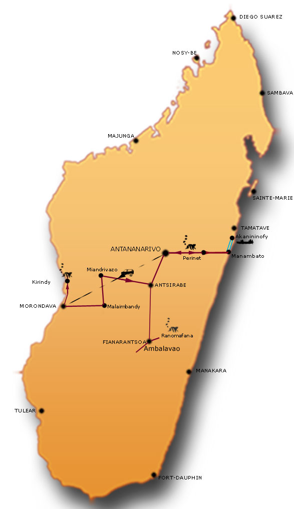
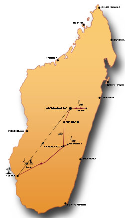
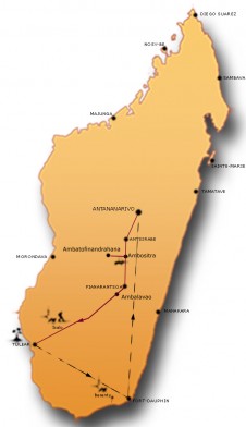
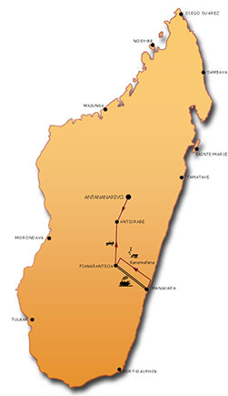
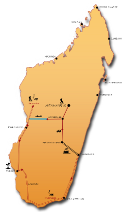
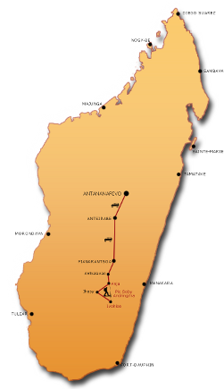
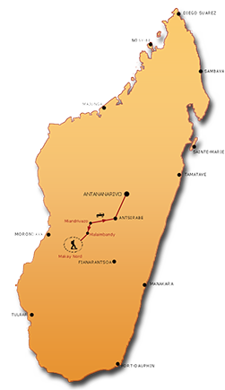
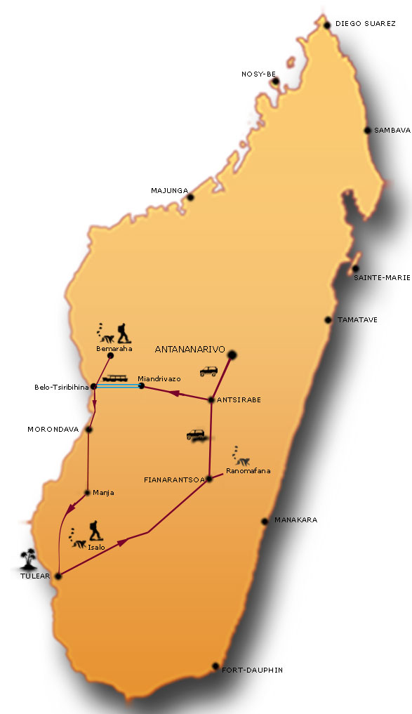
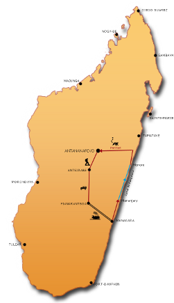
For lovers of beautiful treks, we invite you to discover the greatest spots in Madagascar between Antananarivo and Tuléar, along the RN7.
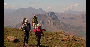
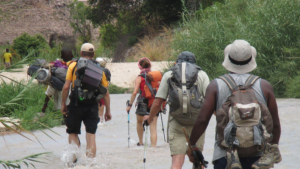
Eleven days of committed hikes reserved for good walkers (minimum 6 hours per day).
We walk on the Highlands and in the Zafimaniry Country to meet village life, moments rich in encounters and exchanges.
We then continue in the Andringitra Massif with the ascent of Pic Boby, the Isalo National Park and the famous and isolated Makay Massif.
The evenings are around the wood fire in the company of our guides and porters, the nights in tents. Our trip ends in Ifaty for a few days of relaxation at the edge of a sumptuous lagoon.
Highlights
- Mount Ibity in the Highlands
- Hiking in the Zafimaniry villages
- Ascent of Pic Boby in Andringitra
- Visit of the Isalo national park
- Trekking committed in the Makay massif
Travel identity card

 Duration: 21 days
- Participant: From 4 people
- Guiding: French-speaking Malagasy guide
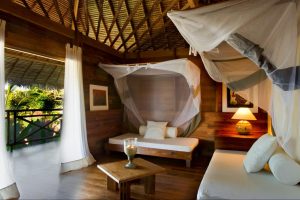
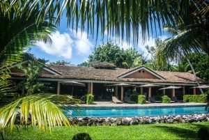
- Accommodation: Accommodation: Campsite + standard or superior hotel
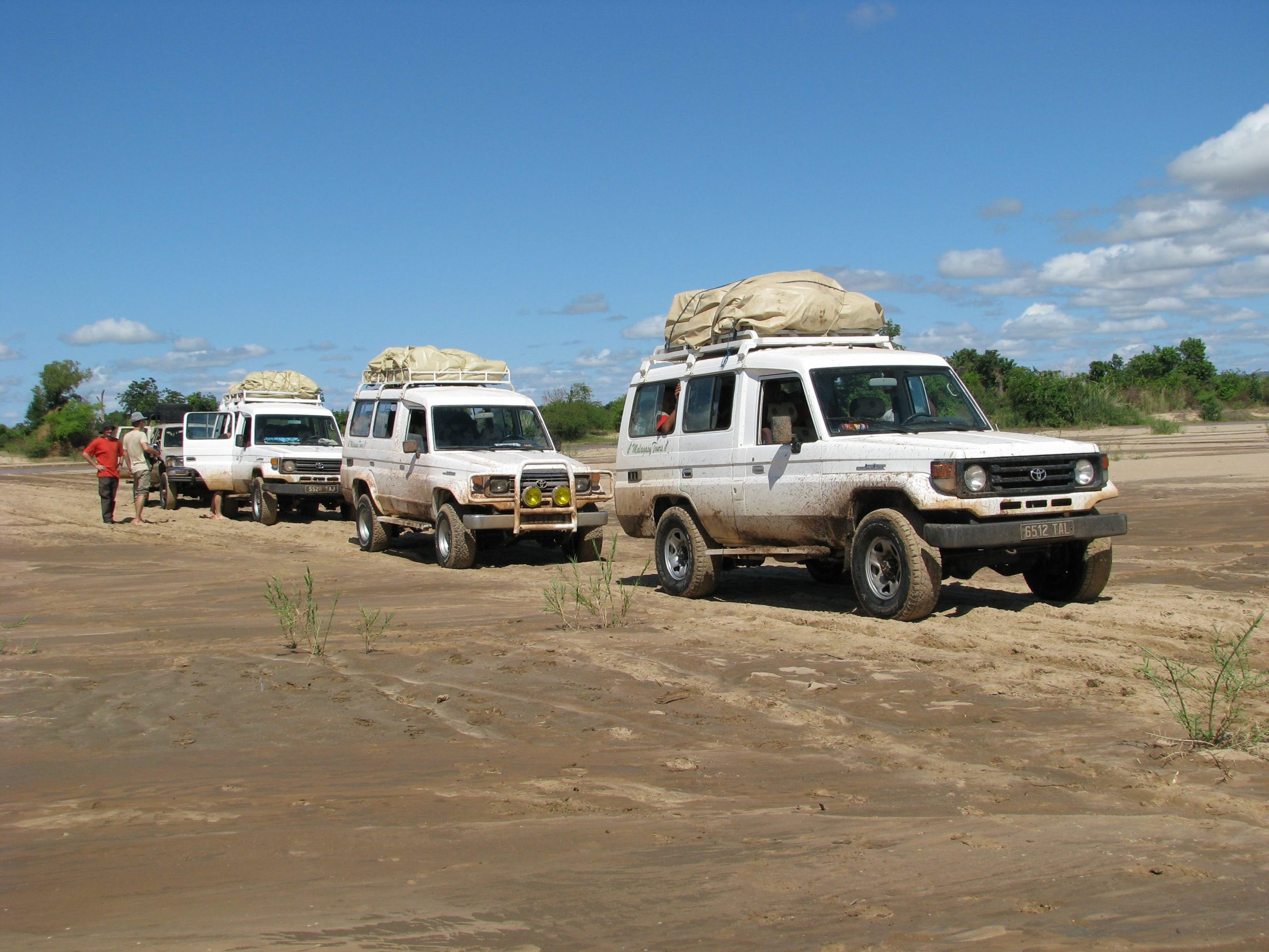
- Transport: 4×4
- Period: From June to November
-
Effort = 4
“Steady”Days are from 5 to 7 hours of walking and these during several days in a row (5 to 10). No technical difficulty, but the elevation changes can be consequent: from 800 to 1200 m certain days. In Madagascar, the height is not a determining factor but it is to be considered. Your bag contains your personal belongings for the day.Confort = 2
“Adventure”
Majority of of nights under tent (camping) with hotels and / or hostels where possible.
In camping, meals are prepared by the Malagasy Tours team with fresh products, even in trek.
Attentive service in bivouac. Frequent showers, but not daily.
Travel by all-terrain vehicle on tarmac roads and / or tracks.
Day 1: Antananarivo > Antsirabe
 Appointment with your guide.
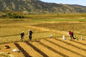
We are heading south. As soon as you leave Antananarivo, the rice fields and villages characteristic of the Highlands shape the landscape. At Ambatolampy we take a break and discover the work, rather surprising, of the manufacturers of aluminum casserole dishes, those found throughout Madagascar.
Arrival in the afternoon in Antsirabe. We take the time for a little visit of the city and if you feel like it, a ride in a rickshaw, The mode of transport of the Antsirabeans.
- Duration: +/- 3 hrs
- Distance: 170 km
Day 2: Ascent of Mount Ibity
 It is from the village of Manandona that we begin the ascent of Mount Ibity. The massif runs from north to south for about twenty km. We follow its side while progressing towards the Col du Grand Tombeaux, begin the ridge towards the south and head towards the summit. Ibity is one of those mountains with several peaks! When you are at its highest point, the rock a little further away always seems higher and the one behind still higher.
We spend these 2 nights in a gîte. The welcome in these too rare village lodgings is always simple and warm, the meals are like in the countryside, and it is not uncommon for locals to come and visit us. The evening will then be accompanied by songs and laughter.
- Duration: 6 to 7 hours of walking
- We organize your meals
Day 3: Manandona > Zafimaniry country
 We greet our guests and take the road towards the South and the Zafimaniry country. Crossing Ambositra where we take the time for a stroll and a few visits to craftsmen’s stalls. Perhaps you will hunt for a beautiful marquetry box or a small statue. Continuation to Antoetra.
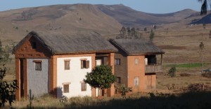
The wooden huts are very characteristic here. The doors and shutters are carved with geometric designs with specific meanings in the Zafimaniry culture. Our guide will teach them to us. Overnight in a tent near the village.
- Duration: +/- 4 hours of road
- Distance: 140 km including 35 of track
- We organize your meals
Day 4 & 5: Hikes in Zafimaniry Country
 We continue for two days of hiking in Zafimaniry Country.
The porters help us to transport food, luggage and to set up our traveling camp. We will go from village to village, on the many trails. In the greenery of the rice fields, the cultures, we cross on the way villagers, farmers, zebus.
The Zafimaniry are renowned for their rosewood woodwork. The children often accompany us for a few steps, at the exit of their village.
We pitch our camp on the last evening not far from the village of Antoetra.
NB – Bring a rain cape, the Zafimaniry Country is rather wet!
- Duration: 6 to 7 hours of walking per day
- We organize your meals
Day 6: Antoetra > Ambalavao
 We join the RN7 again and we cross the town of Fianarantsoa. We stop there for a quick tour of the old town. We then take the road to Ambalavao, one of the most beautiful Malagasy villages.
- Duration: +/- 5 hours
Day 7: Ambalavao > Andringitra
 It is from here that we take the track that leads to the village of Ambalamanandray. Our guide and his porters are waiting for us for these few days of hiking. Time to prepare the logistics, and we leave for our first approach to this superb massif.
Night at the camp.
- Duration: +/- 3h
- Distance: 80 km
- We organize your meals
Days 8 & 9: Andringitra and ascent of Pic Boby
 We really begin our hike today. A great team of porters from the surrounding villages, as well as a local guide, accompany us for these walks. Gradually, we get closer to the Andringitra massif.
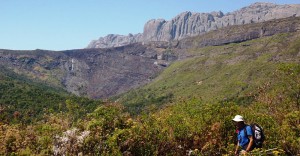
Two days of sublime hikes. They take place in an exceptional mineral universe. We reach the second highest peak in Madagascar: Pic Boby (2658 m). We evolve in autonomy in the mountains of Andringitra. By these very alpine footpaths, we pass by the so-called “extraterrestrial” site
Evening around the wood fire in the company of the porters, always happy to be out!
NB – Bring a down jacket and a good sleeping bag the nights are often very cool
- Duration: 7 to 8 hours of daily walking
- We organize your meals
Day 10: Andringitra > Ambalavao > Ranohira
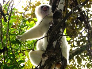
 Return by the same track to Ambalavao. We branch off to the south and stop to visit the Anja reserve. We make an incursion into the forest where a few families of mischievous ring-tailed lemurs have taken up residence. The Anja reserve is managed directly by the villagers. The profits allow the improvement of the living conditions of the surrounding villages.
Road to Ranohira via the huge Horombe plateau.
- Duration: +/- 6 hours
- Distance: 280 km
Day 11: Visit of the Isalo National Park
 We leave for a short transfer by vehicle to the foot of the Isalo cliff.
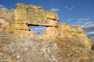
With a small bag on the shoulder, we walk quietly through astonishing landscapes made of canyons, pools and rocks with magical erosions. The ruiniform massif of Isalo is a continental sandstone plateau dating from the Jurassic. Here, the rock has a very variable aspect, shape and composition. Nature has adapted to the dry climate. The park is a separate ecosystem; it has endemic rupicolous vegetation made of Aloes, Euphorbias, Pachypodiums and Kalanchoe. We take our picnic in the forest of Tapia. Around the site, excursions are possible and a walk to the peaks allows you to enjoy a magnificent view.
- Duration: 3 to 4 hours of walking.
- We organize your picnic lunch.
Day 12: Ranohira > Beroroha > Beronono
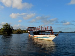
 A big day of stages awaits us! We follow the Isalo massif, passing through the villages. The track is sometimes difficult, we navigate in shrubby bush, a few villages: Iloto and Menamaty etc on the road break up the immensity of this arid zone. Arrival at the edge of the Mangoky river, one of the most important in Madagascar. We take the ferry and continue to Beronono, the starting point of our next trek.
- Duration: +/- 8 hours
- Distance: 170 of track
- We organize your meals
Day 13 to 17: The Makay massif
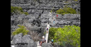
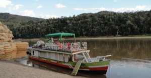
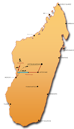
 It is with a pioneering spirit that you must approach this trek! We are the very first tour operator to frequent this area and you have the privilege of being among the very few people to enter these mountains. As you have seen, access is difficult, you will see the lack of any infrastructure, this is precisely what best protects this exceptional site made up of countless canyons, waterways and peaks. Accompanied by trackers and carriers, we penetrate to the heart of this universe here also mineral, here also made of soft sandstone strata crossed by hard silicified fractures and by layers of pebbles.
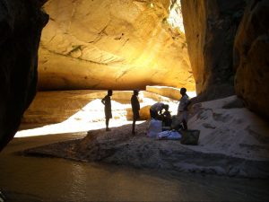
This trek could be described as aquatic. At the bottom of the gorges: water, pure and transparent, we follow their courses enclosed in high cliffs. We regularly climb to the heights to appreciate this disturbed decor where water is the main responsible for this tormented relief. In the rivers the progression is slow and sometimes painful, at the top it is the heat which awaits us. Small lakes, populated by crocodiles, hide between two mountains. Porters try their hand at eel fishing, often successfully. Here the lemur (Catta lemur) is wild, it will be difficult to approach it. Parrots are omnipresent, their cries echo on the walls. A few raptors such as buzzards, kites and striped polyboroids soar above the mountains. We visit small caves or excavations where drawings, probably old, add to the mysteries of the place. The bats, attentive guardians, drive away the visitor. It is on the white sand beaches so rarely trodden, at the foot of vertiginous cliffs, that we set up our camps.
During these few days, the Makay will reveal its beauty to us, indulge a little, then return to its tranquility, its solitude
- Duration: 6 to 8 hours of walking per day
- We organize your meals
Day 18: Makay > Beroroha > Ranohira
 It is here that we separate ourselves from our carriers… links had been created, that is also what the journey is about.
Heading south. After crossing the Mangoky river by ferry near the village of Beroroha, we leave behind us the mountains of Makay to their mysteries.
Return for the night in Ranohira.
- Duration: 6 to 7 hours
- Distance: 150 km of track
- We organize your picnic lunch
Day 19: Ranohira > Tulear > Ifaty
 We continue our progress towards the south-west, towards the coast.
The Ranohira -Tuléar road, 245 km long, crosses several botanical landscapes. The Mozambique Channel is visible long before reaching Tulear. On the way, short stops at the Mahafaly tombs, so beautifully decorated, and so surprisingly erected with wooden sculptures. We arrive in town at the end of the morning. Walk around the always lively market, before lunch. Along the beach and the mangrove, the road leads us to Ifaty.
- Duration: +/- 6 hours
- Distance: 280 km
Day 20: Day at Leisure on the shores of the Ifaty lagoon
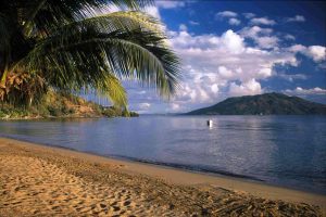
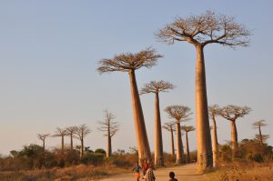
 This day at Leisure on the banks of the Mozambique Channel will allow you to sample the various activities offered by your hotel. For those who would like to enjoy the sea and the lagoon: diving, canoe trip with the Vezo fishermen, swimming or just lazing around. Hiking enthusiasts will be able to discover, inland, a specific and singular vegetation made up of euphorbias, baobabs, didieraceae, aloes. In the south, thorny trees are kings.
Day 21: Ifaty > Tulear > Antananarivo
 Free morning and transfer to the airport organized by the hotelier.
Flight towards the Malagasy capital.
- Duration: 30 min drive and 1h15 flight
Included:
- The driver/guide throughout the trip,
- A vehicle throughout the trip,
- Accommodation of your choice (Standard or Superior),
- Camping equipment (bring a bag of sleeping accommodation),
- Entries to the parks and sites indicated,
- Local guides in the parks,
- All transfers.
Not included:
- International and domestic flights,
- Tips and drinks,
- Activities in Ifaty,
- Your personal insurance.
- The visa: +/- 35€.
RESERVATION – CONFIRMATION
Reservation: Please use the form below to book your trip or change this itinerary. We will respond within 24 hours.
Confirmation: It will be effective upon receipt of the completed registration form that we will send you, as well as a deposit of 30% of the total amount of the price of the travel.
Confirm a trip with SENSE OF OCEANS MADAGASCAR involves having read and accepted the Terms and Conditions.
The general sales terms and conditions can be found here : Terms & conditions
Request Quote
To prepare for your trip, we invite you to read our NEED TO KNOW section


