From 4 to 12 persons.
![]()
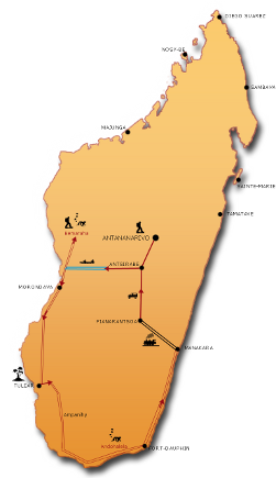
This journey aims to be to be resolutely a journey of adventure.
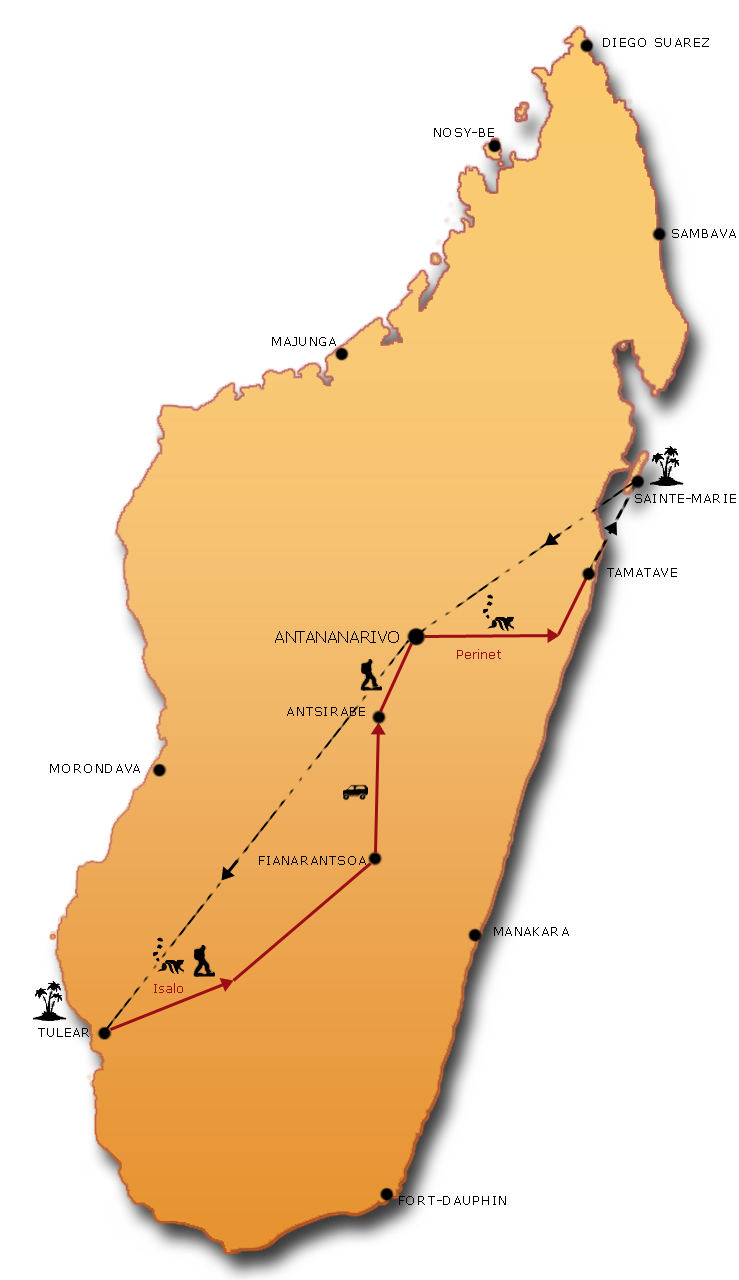
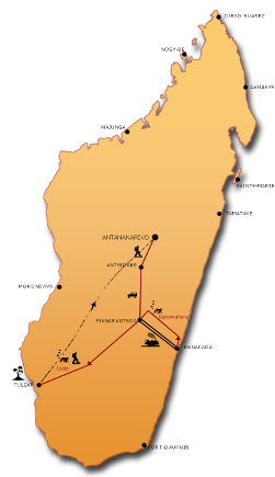
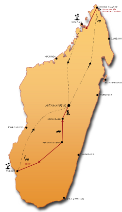
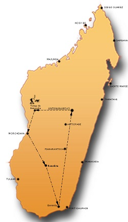
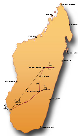
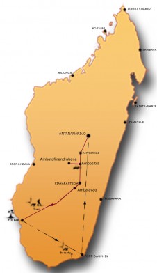
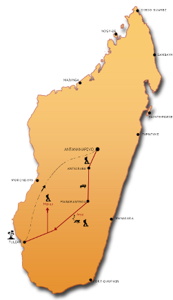
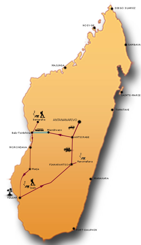
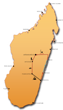
Concerning route: a sacred not commonplace itinerary which consists in leaving westward seeing the Tsingy and baobabs, come down to the South via Tuléar and the Cape Sainte Marie up to Fort Dauphin, then to go back up by the Coast by the track of the 10 local ferries to go to take the train in Manakara from where we join Fianarantsoa and then Antananarivo by the road National 7. Concerning travels: quite a lot of kilometers, all with 4×4, and for the greater part by tracks. Dugout during 3 days and then a jump by train. Concerning accommodation: 80 % under the tent with evenings around the campfire, the rest in small nice hotels on the way. As for the atmosphere, it is you who make it…
Highlights
- An adventurous journey
- Wonders of the West, the Tsingy and the Baobab
- The Deep South to Fort-Dauphin
- The passage through the East Coast to reach the capital
Travel identity card

 Duration: 22 days
 - Participant: From 4 people
- Guiding: English Speaking Malagasy Guide
- Accommodation: Camping + Hotel standard or superior
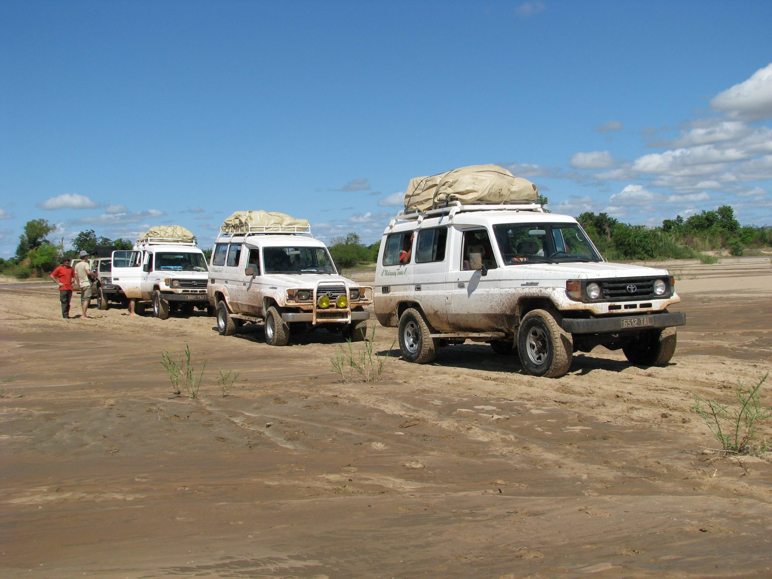
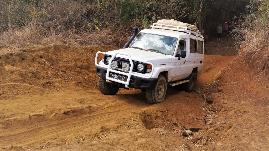
- Transport: 4×4 vehicle
- Period: From June to November
-
Effort = 4
“Steady”Days are from 5 to 7 hours of walking and these during several days in a row (5 to 10). No technical difficulty, but the elevation changes can be consequent: from 800 to 1200 m certain days. In Madagascar, the height is not a determining factor but it is to be considered. Your bag contains your personal belongings for the day. -
Confort = 2
“Adventure”
Majority of of nights under tent (camping) with hotels and / or hostels where possible.
In camping, meals are prepared by the Malagasy Tours team with fresh products, even in trek.
Attentive service in bivouac. Frequent showers, but not daily.
Travel by all-terrain vehicle on tarmac roads and / or tracks.
Day 1: Antananarivo > Antsirabe
 Meeting with your guide.
We have breakfast in the hotel and start heading south passing through Antananarivo.
Rice fields and typical villages of the Highlands represent the landscape right after Antananarivo.
We stop in Ambatolampy to discover the rather amazing work of aluminum to make cooking pots for the whole country.
We take lunch in town. Continuation towards Antsirabe in the afternoon.
We take our time for a city tour and experience “pousse-pousse” (rick shaw) riding for those who want, it is the main transport for locals.
- Duration: +/- 3 h
- Distance: 170 km
Day 2: Antsirabe > Miandrivazo
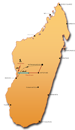
 We depart after breakfast. We drive across Betafo and Mandoto villages. We stop briefly on the bridge to observe gold diggers. We are in the mid-west in Itremo region. We get picnic lunch on way. We arrive in Miandrivazo where we’ll start the boat next day. Stroll around the market and little shops along the streets. We meet our dugout crew in the evening, they will be our river trip companions for a few days.
- Duration: +/- 4h
- Distance: 240 km
Days 3 to 5: The Tsiribihina river with canoe
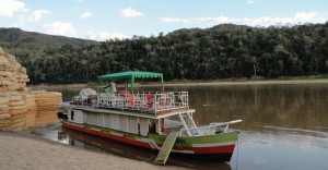
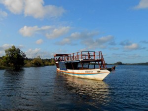
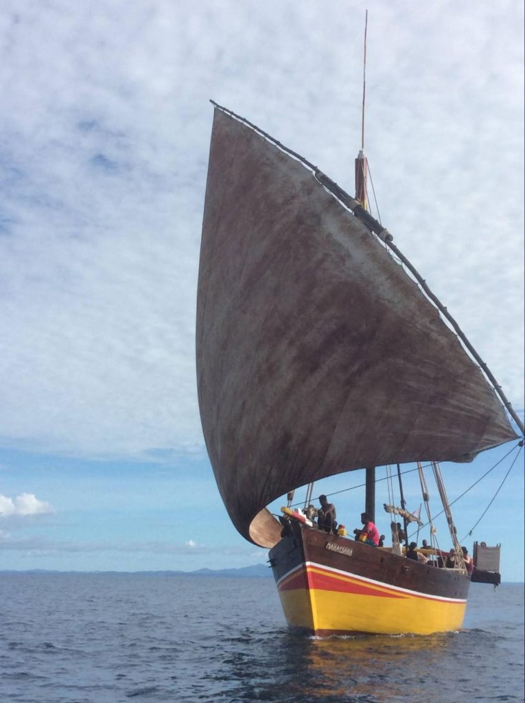
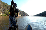 It is a large and quiet river, we go forward slowly with a relaxing and peaceful mood. We set up our camp on the white sand in river’s bank in the evening. We stop on the way to visit villages, to see animals and take a shower in a beautiful waterfall. The guide prepares the meal. Evenings are spent around fire camp and often locals come to visit us and play local music and dance for a great fun.
- Duration: 3 days of canoe
- We organise your meals
Day 6: Tsiribihina River > Bekopaka
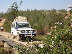 After our breakfast on a sandbar, we continue the Tsiribihina descent for a few hours and get closer to many villages and the river is there more frequented.
We accost to Tsaraotany. Our 4×4 waits for us on the bank. We go first to Tsimafana village to board on a local ferry and cross Tsiribihina river. We take the lunch in Belo and then an uncomfortable track leads us to Tsingy of Bemaharaha National Park, these hundred kilometres will take us a good part of the afternoon.
We cross Manambolo River to reach Bekopaka village.
- Duration: +/- 5h
- Distance: 140 km of track
- We organise your meals
Day 7: The Tsingy of Bemaraha
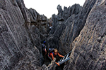 This is one of the most extraordinary sites!
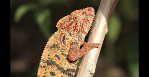
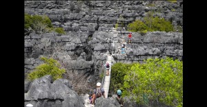
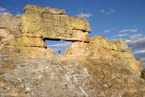
TSINGY is a real cathedrals of limestone, this dense network of faults, cracks and blocks of limestone carved in blades is one of the most spectacular landscapes of Madagascar. The formation of this massif of the middle Jurassic began there is 200 million years, during the period when the sea still recovered this region of Bemaraha. Then this immense plate of corals and shells lifted up itself. Exposed outdoors since 5 million years, the rain, with its work of erosion sculptured the rest. Among these marvels there are 6 species of lemurs, reptiles and 53 varieties of birds. It is also the housing environment of one of the smallest sorts of chameleon, the “Brookesia Perarmata”..
- Duration: + / – 4h of walking
- We organise your meals
Day 8: Bekopaka > Morondava
 We head back to Morondava and cross Manambolo and Tsiribihina rivers by ferry again. It can take a little time sometimes …
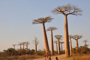
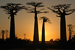
We pass through the famous “Allée des Baobabs” just before we get to Morondava town.
We are there at the right time, the sun is low, raking light, smooth trunks reflect the orange rays of the sun.
Great pictures in perspective. We returned to town, Morondava, and we settle into our hotel by the sea
- Duration: +/- 7h
- Distance: 180 km of track
Days 9 & 10: Morondava > Manja > Ifaty
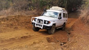
 Two days of track driving as ZaÏre way ! The road is not good of course, actually very tough and it is event easy to get lost. Drivers have to have flair and have to be bold enough. We have to ford rivers because there is no bridge or ferry to cross the water. We camp wherever the evening comes, and start again the next day to reach Ifaty.
A break in the edge of the lagoon is welcome after the two-day stages.
- Duration: +/- 15h
- Distance: +/- 300 km of track
- We organise your meals
Day 11: Day at leisure at Ifaty
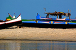 You can explore different activities from the hotel during the day at leisure on the edges of Mozambique channel.
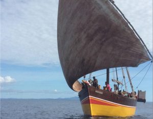
If you want to take advantage of the sea and the lagoon: diving, dugout ride with Vezo fishermen, swim or just idleness.
Hikers can discover the inland, a specific and extraordinary vegetation composed of euphorbia, baobab, didieracea, aloes … , those with thorns are kings in the south.
Days 12 to 16: The Great South Road
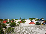 From Vezo passing by Mahafaly to Antandroy area, the South region is actually amongst the rare unique landscape where the trip turns to a real adventure. We drive along the coast where you deserve everything.
Obvious hot days, rough roads, soft sand, all drive us towards Itampolo, a Vezo village, with its deserted beach. Tracks cross over an immense space where grows Didieracea, Euphorbia and Aloe. We ford Linta and Menarandra Rivers to reach Lavanono village, Faux Cap and Cap Ste Marie which is the south point of the Island. We pass through several little fishers villages and huge Sisal plantations before getting to Fort Dauphin. This region is certainly the highlight to your memory.
4 nights in tent and last night in hotel in Fort Dauphin.
- Duration: +/- 25h
- Distance: 400 km of track
- We organise your meals
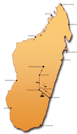
Days 17 to 19: From Fort Dauphin to Manakara
 We were the first tour operator to take the road that goes up the east coast to Manakara.
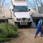
The unusual feature of this route is the local ferries, 10 in number, that we need to take to cross rivers and inlet of the sea.
The traveler must here give a little of his person to get on the other side, in fact it is by using a rope that is pulled, that we bring the boat on the opposite bank – Do not worry it’s never very long!
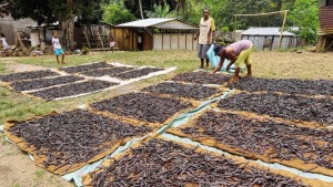
Beyond this originality, we cross numerous villages whose specialty is the culture of the clove; this spice embalms the first part of our path. It is on this track that we shall meet magnificent specimens of Nepenthes, an endemic carnivorous plant in this region of the Malagasy South.
We are in country Antanosy, this ethnic group raises steles, certain very old, in their cemeteries roadside. We shall learn more from our guides on the traditions of the people we cross the region. The more we go up to the North, the more it is populated.
Our bivouacs are situated on some deserted beaches, in front of the Indian Ocean. We take time to stop to enjoy these isolated and magnificent sites. Our last stage leads us to Manakara.
- Duration: 3 jours
- Distance: 400 km including + de 200 km of track
- We organise your meals
Day 20: Train to Fianarantsoa
 The railway Fianarantsoa-Manakara was built between 1926 to 1936, it passes through one of the most beautiful landscape in Madagascar between the Indian Ocean and the highlands. We start the ride from Manakara station for a picturesque and colorful trip. You have seats in the first class car of outmoded charm. The diesel locomotive makes its way with whistles through the rice fields and tea plantations. A major part of the journey happens in the heart of the primary forest in a splendid setting with deep cliffs, villages, waterfalls, including the Faraony waterfall, which is one of the most attractive in Madagascar. The cultures are omnipresent and we evolve between banana, coffee, jack fruit, orange, litchi plantations. In every station stop, itinerant sellers try to sell you their cooking specialties as samosa, banana fritters, crayfish, fruits. Although you brought your picnic lunch, you can taste some of these savors. The itinerary in numbers: 163 km long, 1200 m difference in height with 48 tunnels, of which that of Andrambovato who extends over 1 kilometer, 68 bridges and 12 stations all ones more picturesque than the others. The average speed is between 20 to 30 km per hour.
You will arrive at best, 10 hours later to Sahambavy, amidst tea plantations ..
- Duration: Minimum 10h
- Distance: 163 km
- We organise your picnic lunch
Day 21: Fianarantsoa > Antsirabe
 We stay on road N7 and progress towards the north.
We are in the heart of Betsileo country and we are in the highest part of the Highlands, so the road is more and more winding.
In the village of Ambositra we hunt around in the shops of artisans Zafimaniry, trying to find carved wood or a piece of marquetery box that done nicely.
We walk around in the village and have lunch in a restaurant where we can try Malagasy specialities. We continue up to Antsirabe after.
- Duration: +/- 5h
- Distance: 230 km
Day 22: Antsirabe > Antananarivo
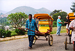 We spend time to visit Antsirabe town and a pousse-pousse (rickshaw) riding is like a must. It is the main mean of transport there. We stop in Ambatolampy to discover how to make the local aluminum cooking-pot, those that we find in all Madagascar. Continuation to Antananarivo in the afternoon.
End of Malagasy Tours services.
- Duration: +/- 3h
- Distance: 170 km
Include:
- A driver/guide and his vehicle all along the trip,
- Accommodation according your choice (Standard or Superior),
- The camping equipment (bring a sleeping bag),
- The dugout on the Tsiribihina river,
- The train from Manakara to Fianarantsoa,
- National parks and indicated sites fees,
- Local guides in Parks,
- All transfers.
Not include:
- International flights,
- Tips and drinks,
- Optional activities in Ifaty,
- Your personal insurances,
- The visa: +/- 35€.
RESERVATION – CONFIRMATION
Reservation: Please use the form below to book your trip or change this itinerary. We will respond within 24 hours.
Confirmation: It will be effective upon receipt of the completed registration form that we will send you, as well as a deposit of 30% of the total amount of the price of the travel.
Confirm a trip with SENSE OF OCEANS MADAGASCAR involves having read and accepted the Terms and Conditions.
The general sales terms and conditions can be found here : Terms & conditions
Request Quote
To prepare for your trip, we invite you to read our NEED TO KNOW section


